


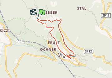

3,6 km | 6,5 km-effort

Tous les sentiers balisés d’Europe PRO


Kostenlosegpshiking-Anwendung
 SityTrail
IGN / Geografische Institute
SityTrail World
Die Welt öffnet sich für Sie
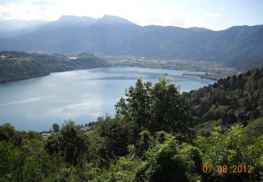
Tour Zu Fuß von 3 km verfügbar auf Trentino-Südtirol, Provincia di Trento, Vignola Falesina. Diese Tour wird von SityTrail - itinéraires balisés pédestres vorgeschlagen.
Trail created by Associazione Filò.
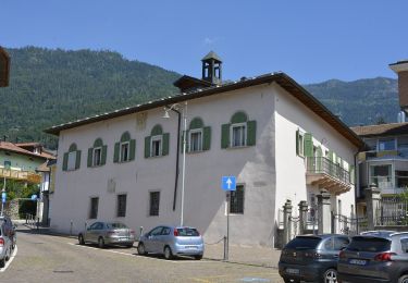
Parco Minerario Alta Valsugana e Bersntol


Zu Fuß
Zu Fuß
Zu Fuß
Zu Fuß
Zu Fuß

Zu Fuß

Wandern
Wandern
Wandern